
The Mapping of Colorado from Indigena to Statehood
Tuesday, September 8th · 5:30pm
Do you love maps? They are becoming a thing of the past but many of us remember the road atlas and big, folded maps! But what do maps tell us about the history of a place?
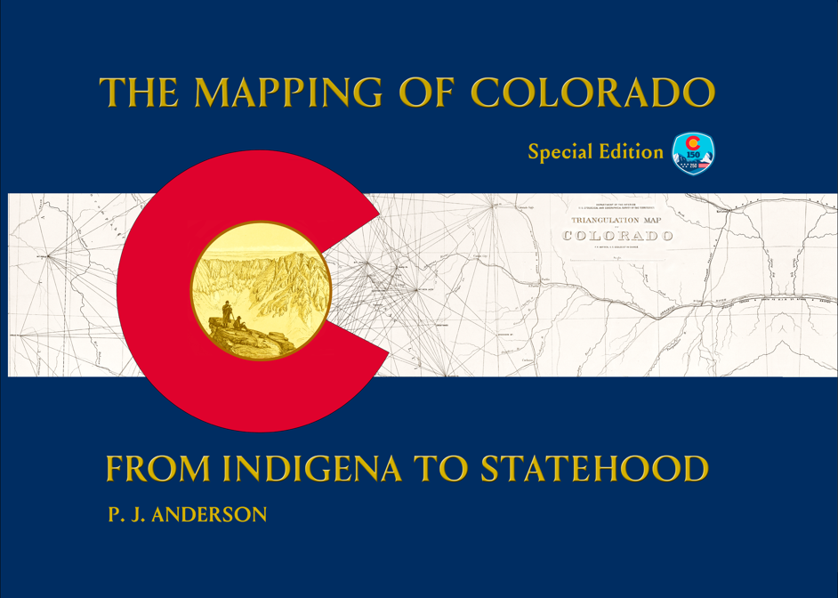
Author and map history enthusiast, P.J. Anderson, will discuss his recently published book, written to commemorate the 150th year of Colorado’s Statehood. Surviving maps trace Colorado’s pre-statehood history, showing what people knew—or thought they knew—from the 1400s to statehood nearly 400 years later. Ninety high-resolution maps depict expeditions, reservations, land grants, territories, surveys, trails, gold rush and mail routes, railroads, and city views. This publication also includes Colorado’s most complete cartobibliography, describing and discussing over 250 maps and where they can be found.

2nd Summit Difference
- Recommended: Great options we suggest for you to attend on your own.
FREE
History Colorado Center
1200 Broadway
Denver, CO 80203
Good to Know
Event Duration
1
hr
30
min
Fitness Level Needed
None
Additional Information
You can purchase the book online through the author's website.
Unfortunately, you have missed this event.
But don't worry, you can
join the email list
and you will be notified when upcoming events are scheduled.
Directions:
Other Upcoming Events